The Rip is the 3.2-kilometre-wide body of water between Point Nepean and Point Lonsdale, connecting Bass Strait and Port Phillip. It is the entrance for shipping into Melbourne and Geelong.
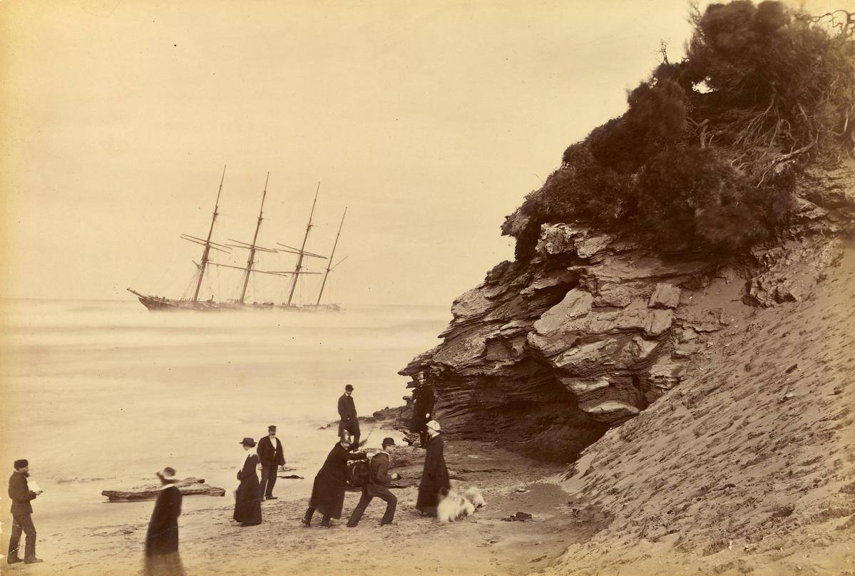
The narrow entrance – made hazardous by tides, winds, ocean swells and shoreline reefs – has shaped much of Queenscliffe’s history. In the early days, shipwrecks were common as The Rip robbed mariners and passengers of their cargoes, hopes—and sometimes lives—at a long journey’s end.
In 1839, George Tobin became the first licensed sea pilot. Camped on the beach, boatmen rowed whaleboats to inbound ships so sea pilots could guide them through The Rip. The Port Phillip Sea Pilot Service followed in 1854 and continues to operate today using fast orange motor launches to transfer pilots to ships outside the Heads.
From 1843, lightkeepers kept watch from the first lighthouse built on Shortland Bluff from local sandstone. In 1860, it was replaced by two bluestone lighthouses, the lower light painted white so that mariners could line up the lights to navigate the channel. Today, the automated Queenscliff and Point Lonsdale lighthouses still serve a vital navigational role.
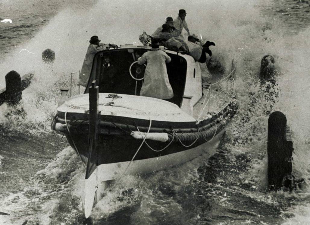
Queenscliff got its first lifeboat in 1858. Manned by fishermen, the lifeboats rescued people from ships that had misjudged The Rip. The 1920 lifeboat shed still stands on the pier and visitors can see the last surviving motorised lifeboat at the Queenscliffe Maritime Museum.


